

Types of Sensors Used in Drones for Collision Avoidance: LiDAR, Vision, Ultrasonic & Radar Compared

Types of Sensors Used in Drones for Collision Avoidance: LiDAR, Vision, Ultrasonic & Radar Compared
Collision avoidance is one of t...
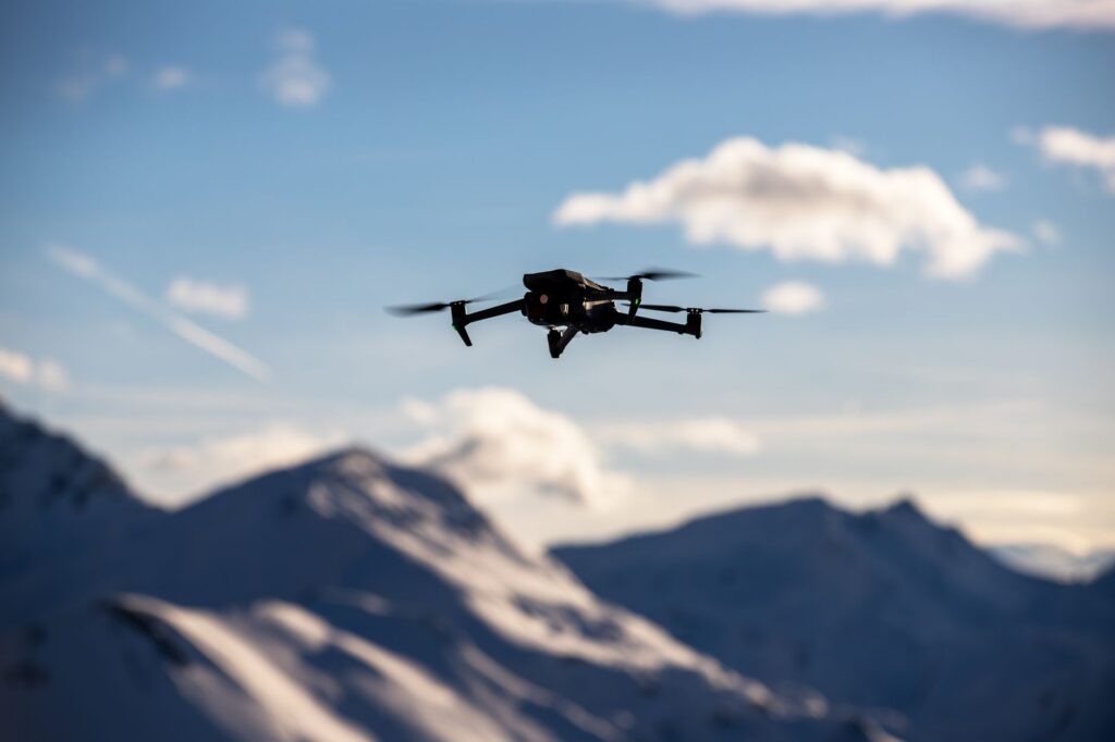
LiDAR and Drones: Beginner-Friendly Guide to UAV Mapping, Obstacle Avoidance, and Sensor Selection
LiDAR and Drones: Beginner-Friendly Guide to UAV Mapping, Obstacle Avoidance, and Sensor Selection
For a lot of beginners, the phrase l...

What Is LiDAR in Home Measurement? A Practical Guide for Room Scanning, Distance Sensing, and 3D Mapping
Most people first run into LiDAR at home through a phone app that scans a room, estimates wall lengths, maps furniture, or builds a qui...

Tesla LiDAR Explained: Vision-Only Debate, Real-World Limits, and What Robotics Developers Can Learn
Tesla LiDAR Explained: Vision-Only Debate, Real-World Limits, and What Robotics Developers Can Learn
The phrase tesla lidar keeps pull...
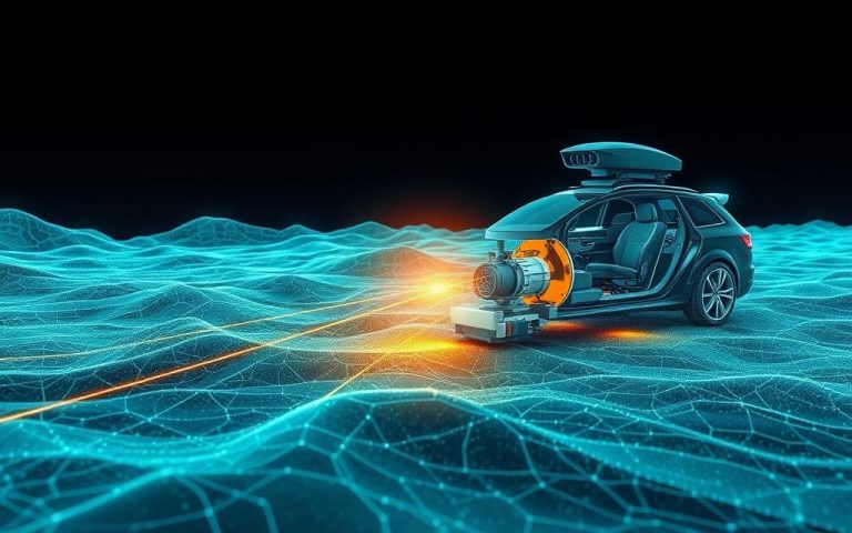
What Is LiDAR Technology? A Practical Guide for Robotics, Drones, AR, and Industrial Automation
What is LiDAR technology? Here’s the deal: LiDAR, short for Light Detection and Ranging, is a 3D sensing technology that uses laser lig...

DJI Matrice 300 RTK Guide: Mapping Accuracy, LiDAR Payloads, Price, and Smarter Sensor Integration
DJI Matrice 300 RTK Guide: Mapping Accuracy, LiDAR Payloads, Price, and Smarter Sensor Integration
Choosing the dji matrice 300 rtk is...

USGS LiDAR News: Where to Find Updated 3DEP Data, Maps, and Robotics-Ready LiDAR Alternatives
USGS LiDAR News: Where to Find Updated 3DEP Data, Maps, and Robotics-Ready LiDAR Alternatives
Here’s the deal: USGS LiDAR news matters ...
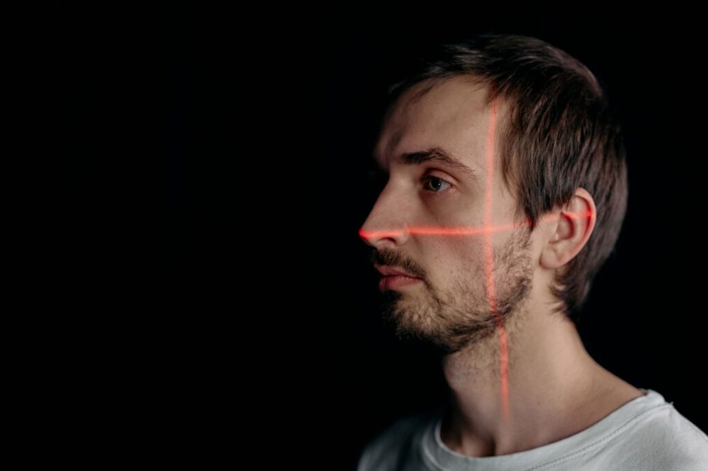
LiDAR Scanner iPhone: Is It Worth It for 3D Scanning, Measurement, and Robotics Prototyping?
LiDAR Scanner iPhone: Is It Worth It for 3D Scanning, Measurement, and Robotics Prototyping?
Here’s the deal: if you searched for “lida...
RTK Query Explained: When to Use It, How It Fits Redux Toolkit, and What Enterprise Teams Should Know
Here’s the deal: in a lot of React applications, data fetching starts out harmless. You call an endpoint, stash the response, show a lo...
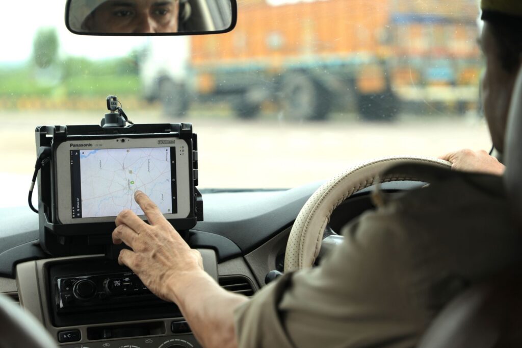
RTK GPS for Robotics, UAVs, and Surveying: How to Choose a Cost-Effective Centimeter-Level Module
Here’s the deal: for robots, UAVs, autonomous vehicles, and survey systems, standard GPS usually is not tight enough. A normal consumer...
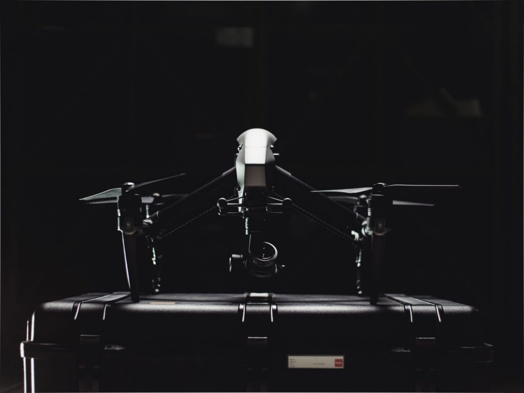
DJI Matrice 350 RTK for LiDAR Mapping: Is It Worth the Investment or Should You Consider RTK Alternatives?
Here’s the deal: for survey crews, inspection teams, and industrial drone buyers, the dji matrice 350 rtk usually lands near the top of...

LiDAR Map Guide: Where to Find Data, Build 3D Maps, and Choose Sensors for Robotics
LiDAR Map Guide: Where to Find Data, Build 3D Maps, and Choose Sensors for Robotics
Here’s the deal: a lidar map can mean two very diff...