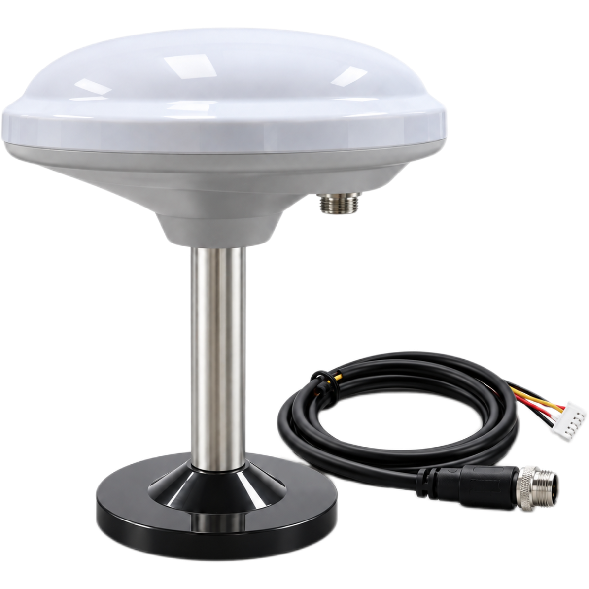
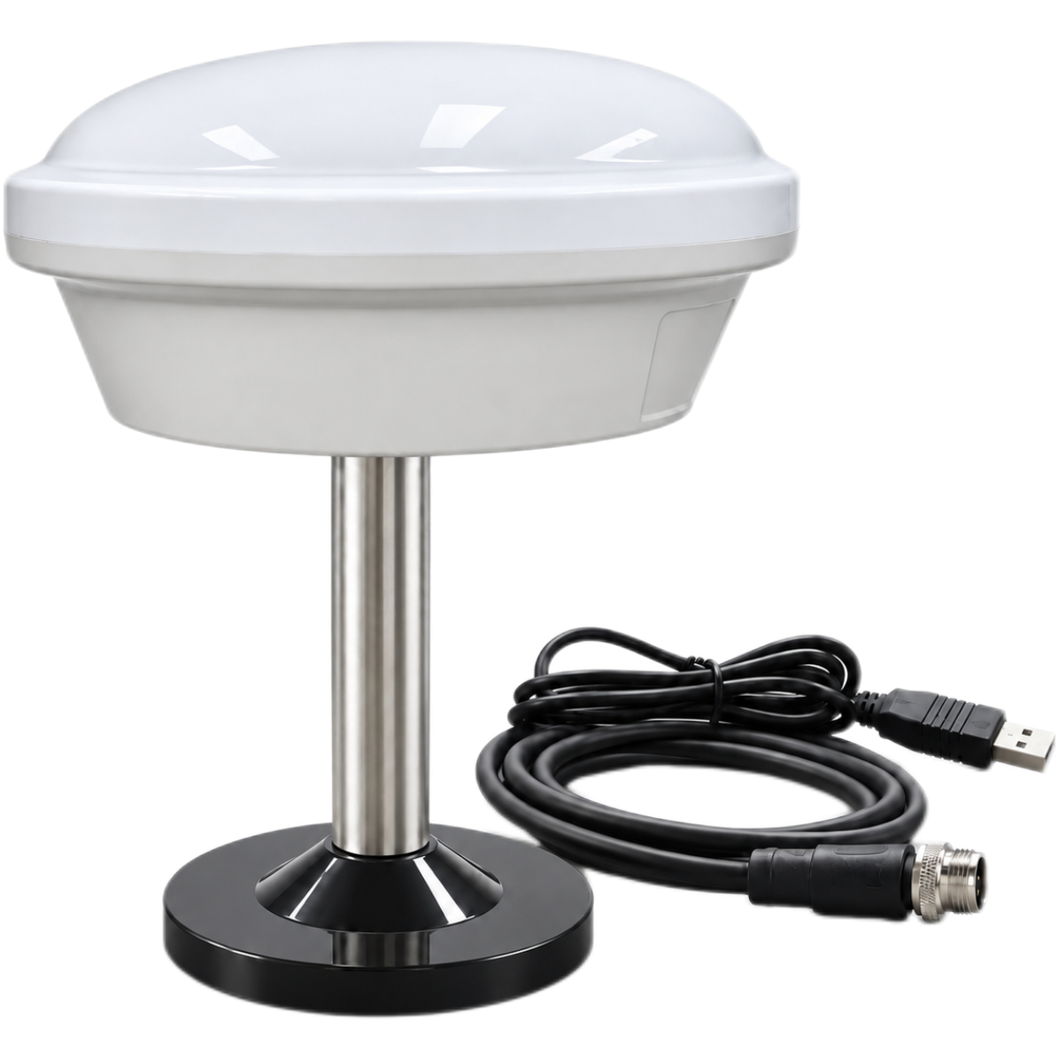
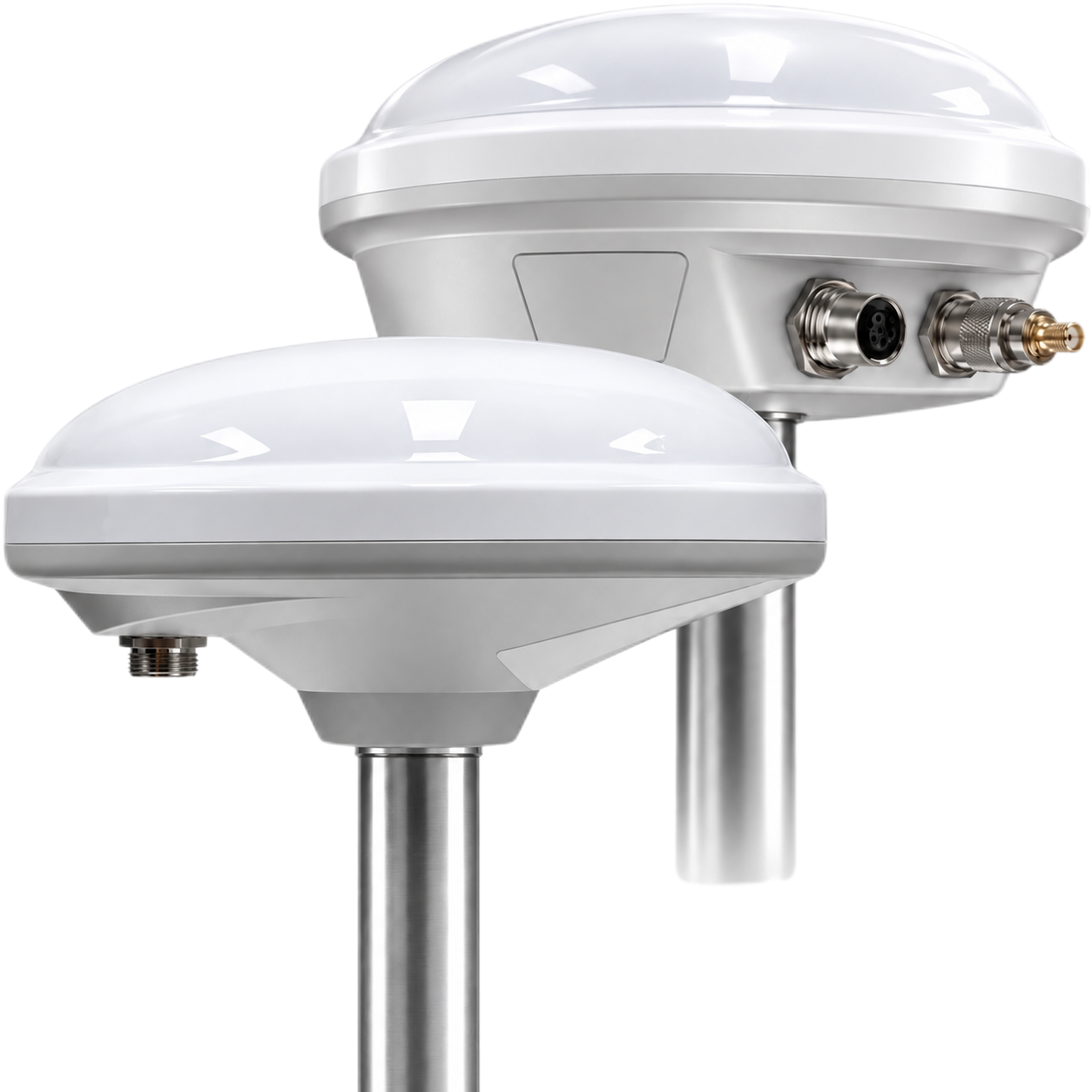
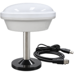
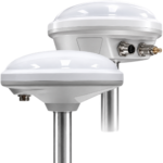
RTK GNSS Receiver for UGV and USV Navigation HM-D13
- All-in-One RTK Solution: Fully integrated GNSS antenna, RTK engine, and differential communication in a single compact unit.
- Centimeter-Level Accuracy: L1/L5 multi-constellation RTK with positioning updates up to 10 Hz for reliable, high-rate performance.
- Flexible Connectivity, 4G or LoRa: Connect to CORS/NTRIP networks via 4G, or deploy a factory-paired local LoRa base station for independent operation.
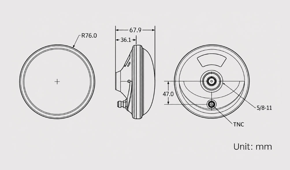
- Compact Design: Ø152 × 67.9 mm, weighing only 550 g — easy to deploy and transport.
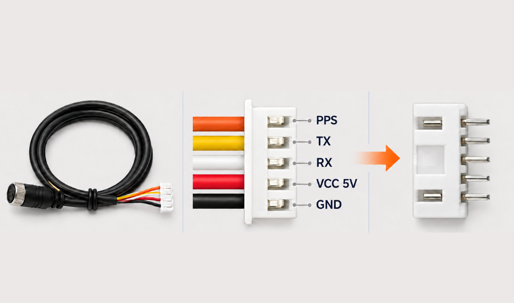
- Simple Integration: 5 V power input and 3.3 V UART interface. Built for professionals who need accuracy, stability, and effortless setup.
$199.99
GNSS / RTK
|
Positioning Capability |
L1 / L5 Dual-frequency RTK |
|
Horizontal Accuracy |
1.0 cm + 1 ppm |
|
Vertical Accuracy |
1.5 cm + 1 ppm |
|
Max Update Rate |
10 Hz |
|
RTK Time to First Fix |
45 s |
4G / LoRa Correction Link
|
4G Version |
CORS / NTRIP |
|
LoRa Default Frequency |
915 MHz |
|
LoRa Communication Range |
Up to 6 km |
|
LoRa Networking |
One base station to one or multiple rovers |
|
Max Number of Rovers |
4096 |
GNSS Receiver
|
Satellite Systems |
GPS, BeiDou, Galileo, QZSS, GLONASS, IRNSS |
|
Cold Start / Hot Start |
28 s / 1 s |
|
Antenna System Gain |
40 dB |
Mechanical & Interfaces
|
Dimensions / Weight |
Φ152 × 67.9 mm / 550 g (Base Station) |
|
Operating Voltage |
5 V |
|
Data & Interface |
5-pin (XH2.54) / NMEA / UBX |
Robots, Field Systems & Drones
The HM-D13 is a multiband GNSS RTK module designed for precision surveying, field mapping, and autonomous outdoor systems. It supports one-to-many connection, delivering reliable positioning data for your next project.
Designed for professionals who demand accuracy, stability and ease of use.
An RTK solution integrating antenna, positioning, and communication modules in one device.
RTK technology enables centimeter-level positioning accuracy for applications requiring precise location information.
Support 4G and LoRa communication options for flexible RTK correction-data transmission.
Supports multiple satellite systems for better coverage and accuracy.
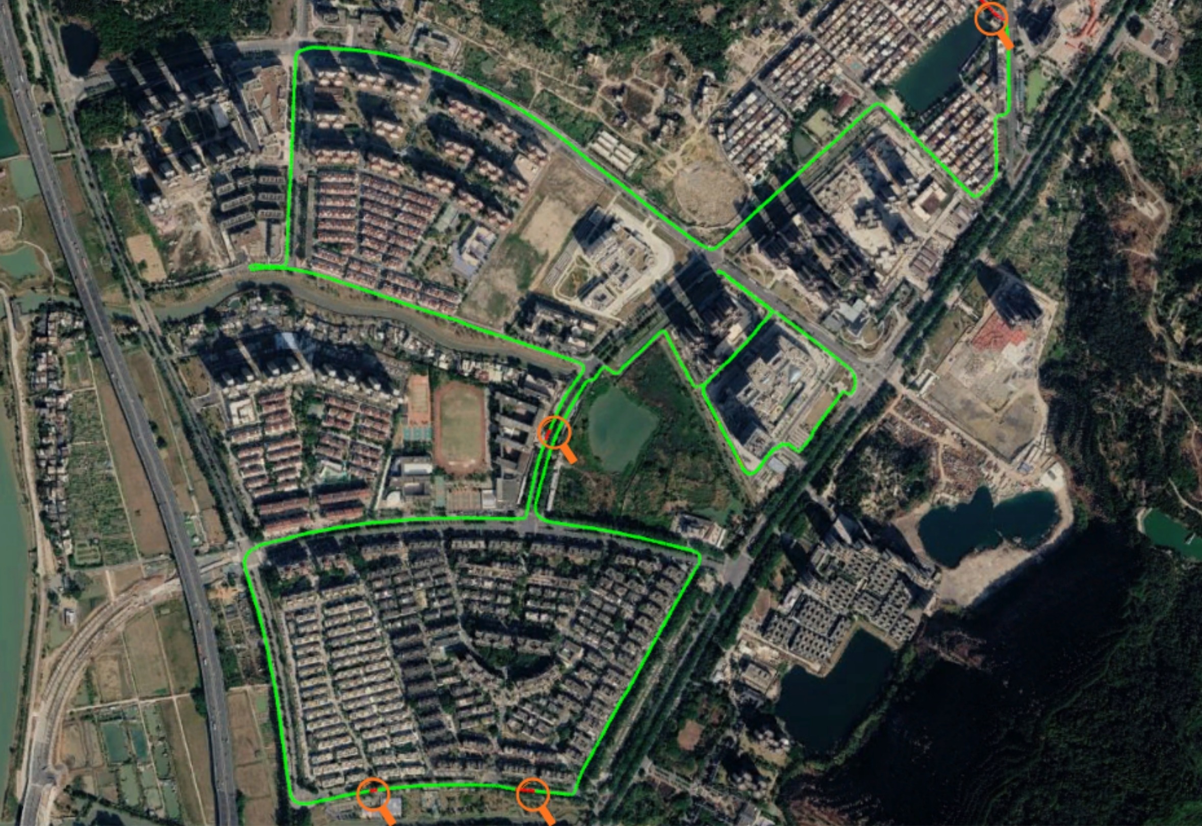
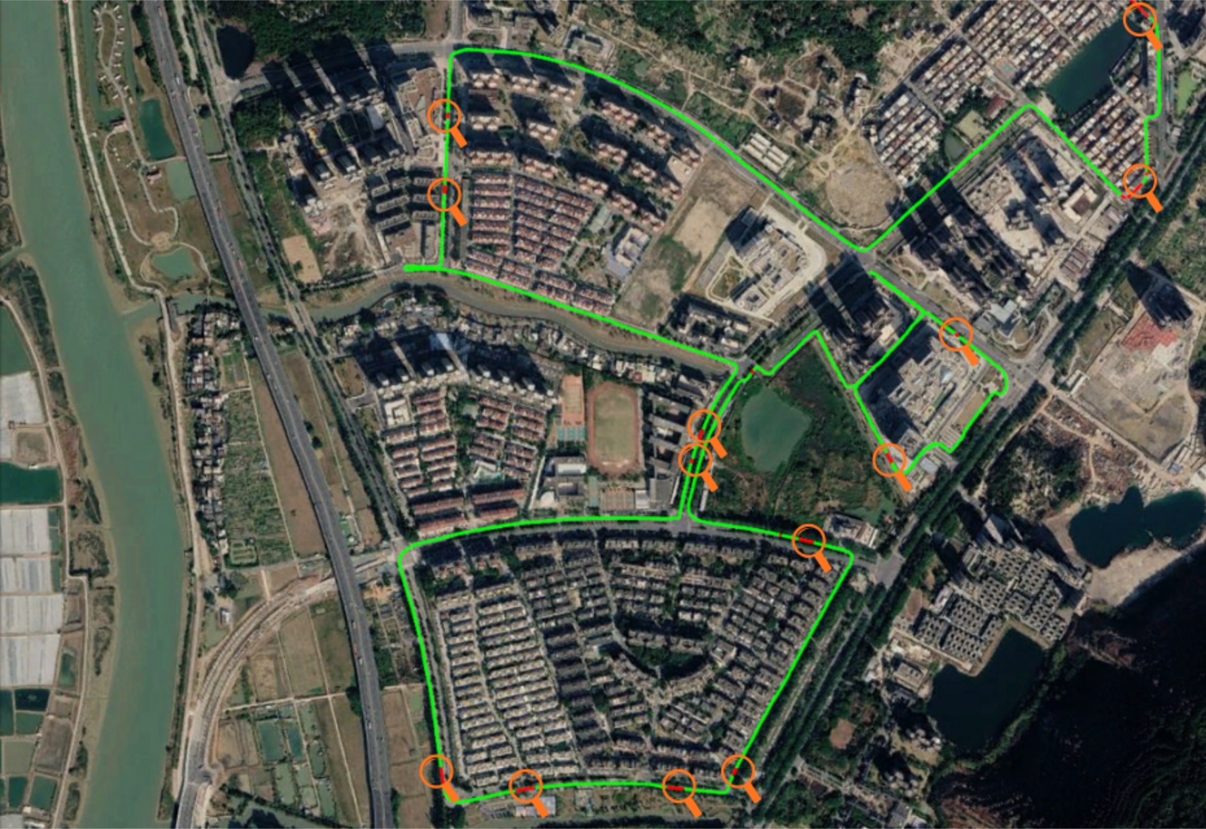
Compare positioning performance under the same NTRIP Correction services
RTK Trajectory Positioning
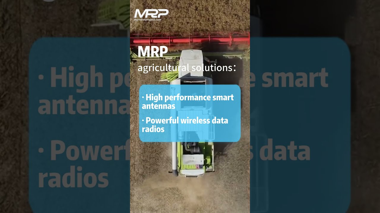
RTK receiver achieves centimeter-level positioning for autonomous farm machinery guidance.
Outdoor Conditions
Designed for demanding fieldwork in changing weather conditions.
Built to support outdoor positioning applications in wet conditions.
Designed for positioning tasks in cold outdoor environments (-40°C ~ 85°C).
Clear pinout definitions & dimension drawings for seamless integration
Open source SDK, examples & tools
Simple code and rich development resources
Dedicated technical support for your project
Supports flexible multi-platform development
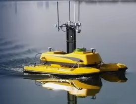
Supports autonomous navigation and precise positioning for outdoor robots
Improves efficiency and accuracy in smart farming and field management
Captures accurate coordinates for land, marine surveying and infrastructure projects
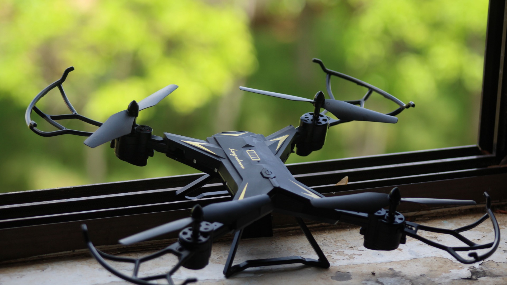
Enables high-precision flight and mapping for aerial operations
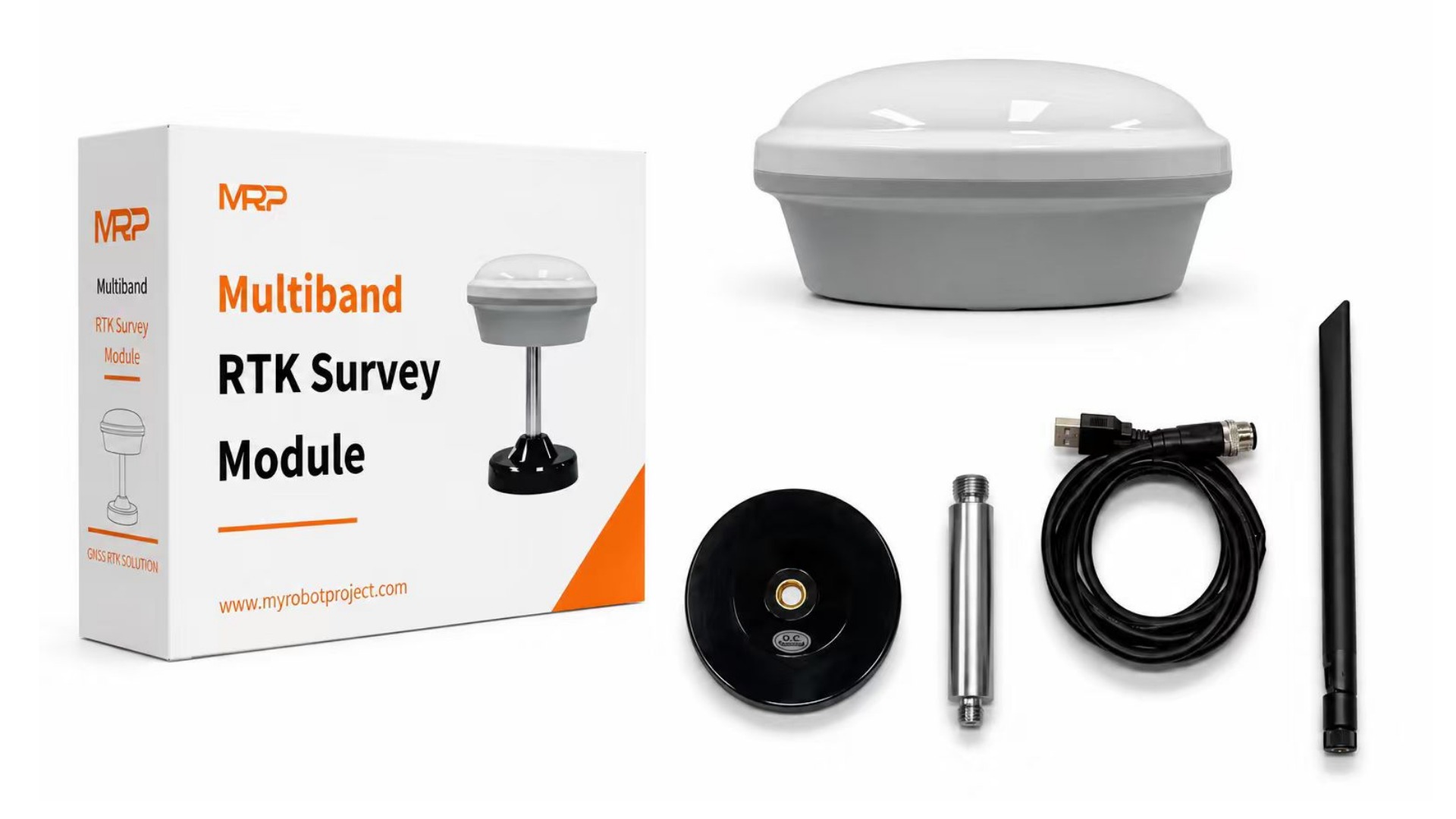
- HM-D13 Base Station x1
- Antenna x1
- Mount Rod x1
- Magnetic Base x1
- Power & Data Cable x1
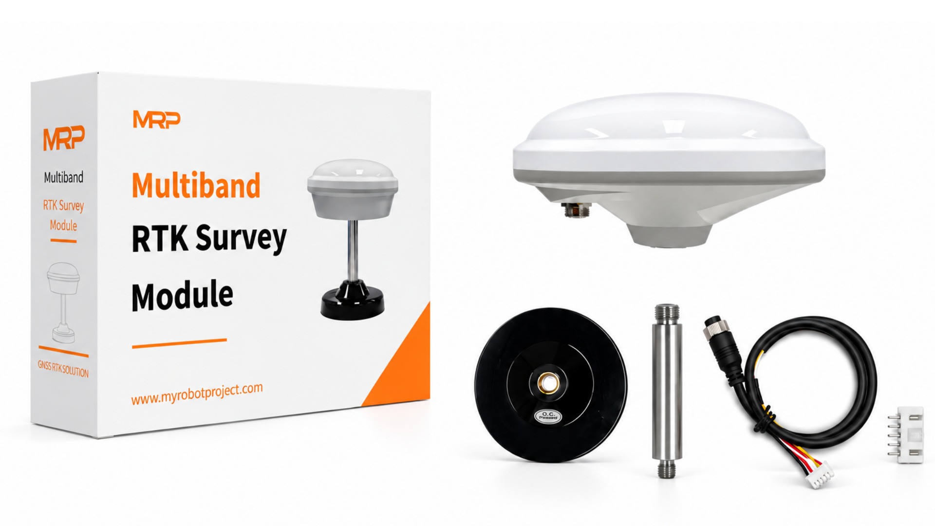
- HM-D13 LoRa Rover x1
- Magnetic Base x1
- Mount Rod x1
- Data Cable x1
- Socket x1
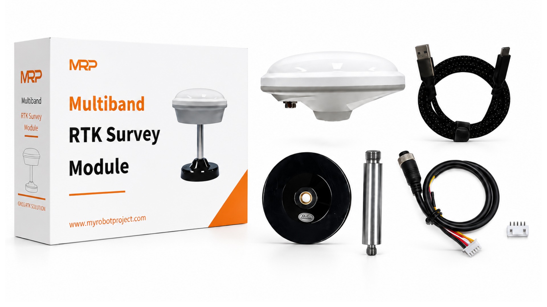
- HM-D13 4G Rover x1
- USB-C Cable x1
- Magnetic Base x1
- Mount Rod x1
- Data Cable x1
- Socket x1
You can choose different versions based on your needs:
- LoRa version: Requires one LoRa rover + one base station to work together.
- 4G version: Requires you to pair it with a CORS service on your own.
- For drone customers: You can choose the four-arm helical HM-D20 module LoRa version, paired with one base station.
The main difference lies in the source of differential data and the usage requirements:
- 4G version: Connects to a CORS service via 4G network, and requires an additional satellite service account.
- LoRa version: Transmits differential data through a self-built LoRa base station, no additional satellite service account is needed, but it must be used with a base station.
- LoRa version: Suitable for scenarios with a fixed work area where a base station can be set up, such as surveying and mapping, stakeout, agricultural machinery navigation, and drone operations. The ongoing usage cost is relatively lower.
- 4G version: Suitable for scenarios with scattered work areas, where setting up a base station is inconvenient, or where flexible single-unit use is needed. It achieves positioning by connecting to a CORS service via 4G network.
Yes. The LoRa version requires the base station and rover to work together and cannot be used with the rover alone.
The standard configuration is: one LoRa rover + one LoRa base station.
For drone customers, you can choose the four-arm helical HM-D20 module LoRa version, paired with one base station.
- If you have a fixed work area, can set up a base station, and want lower ongoing usage costs, we recommend the LoRa version.

- If your work areas are scattered, setting up a base station is inconvenient, or you need flexible single-unit use, we recommend the 4G version.

- For drone customers, the four-arm helical HM-D20 module LoRa version paired with one base station is preferred.
If you are still unsure, you can add our customer service and we will help recommend the right configuration for you.
Our engineering team provides technical support to help developers solve integration issues quickly. We also provide flexible international shipping options available.
Response within
Online Support
Minimum Order Quantity
Fast & Reliable Worldwide Delivery
| Weight | 1.075 kg |
|---|
Contact us
TEL: +8618926195421
Huangmei Road, Huangge Town, Nansha District, Guangzhou City, Guangdong Province, China
Email:[email protected]

Reviews
There are no reviews yet.