
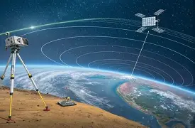
GPS RTK for Robotics, Drones, and Surveying: How to Choose a Cost-Effective Centimeter-Level Positioning Module

GPS RTK for Robotics, Drones, and Surveying: How to Choose a Cost-Effective Centimeter-Level Positioning Module
Ordinary GPS is fine w...
RTK Drone Buying Guide: Build, Upgrade, or Choose the Right Centimeter-Level GNSS Module
RTK Drone Buying Guide: Build, Upgrade, or Choose the Right Centimeter-Level GNSS Module
For industrial drone teams, positioning accura...
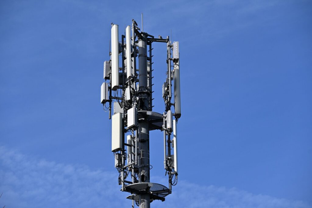
RTK Base Station for Drones, Robots, and Surveying: How to Get Centimeter-Level GNSS Without Subscription Lock-In

RTK Base Station for Drones, Robots, and Surveying: How to Get Centimeter-Level GNSS Without Subscription Lock-In
Here’s the deal: an r...

What Is RTK? A Practical Guide to Centimeter-Level Positioning for Robots, Drones, and Autonomous Systems
Standard GPS can usually tell you which field, road, yard, or worksite your machine is sitting in. RTK tells you where it is actually w...
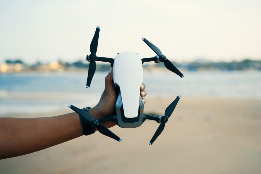
Drone RTK Guide: Build Centimeter-Accurate UAV Mapping Systems Without Costly Integration Mistakes
Drone RTK Guide: Build Centimeter-Accurate UAV Mapping Systems Without Costly Integration Mistakes
Drone RTK is not some fancy add-on r...
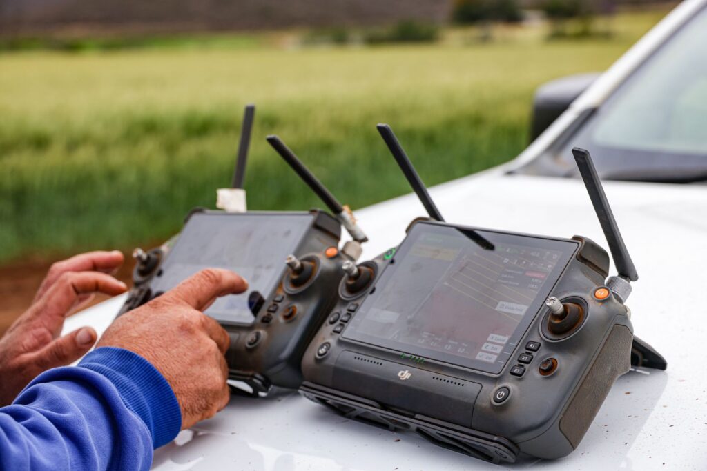
GPS RTK Precision Agriculture: How to Achieve Centimeter-Level Field Accuracy Without Costly Downtime
GPS RTK Precision Agriculture: How to Achieve Centimeter-Level Field Accuracy Without Costly Downtime
Here’s the deal: modern precision...
LiDAR Tech Explained: How to Choose Solid-State dToF Sensors for Robots, Drones, and Autonomous Systems
LiDAR Tech Explained: How to Choose Solid-State dToF Sensors for Robots, Drones, and Autonomous Systems
Modern robots, drones, inspecti...
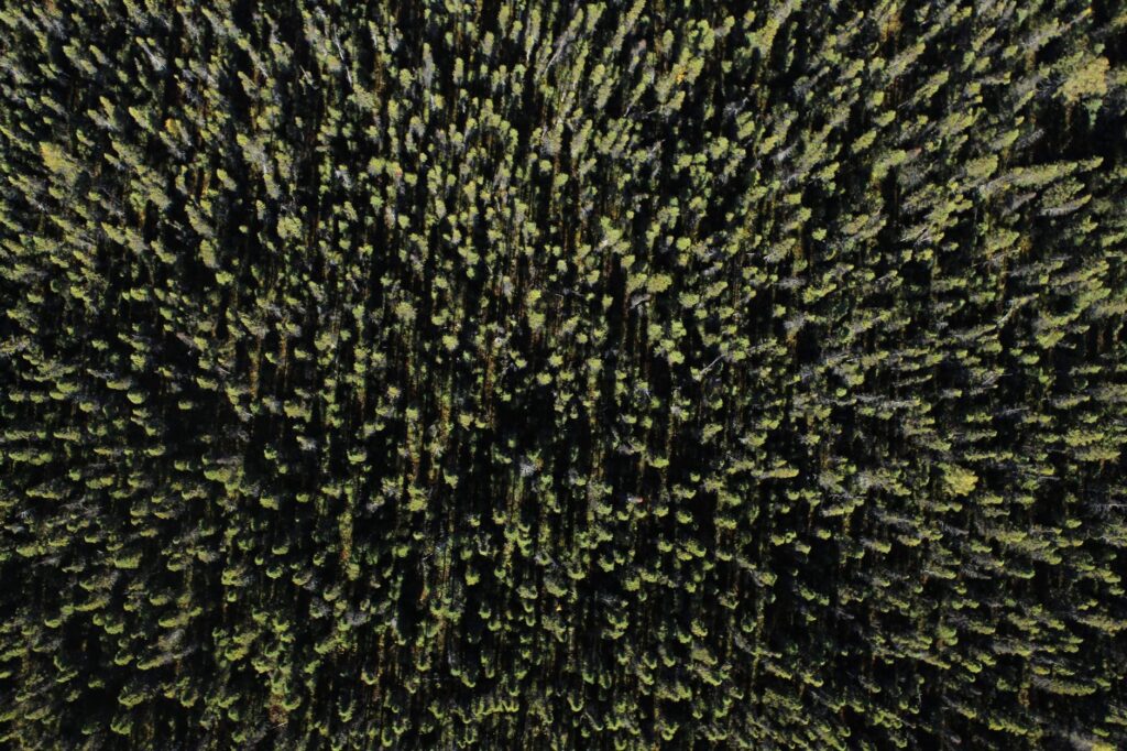
LiDAR Images Explained: How to Find, View, and Use Depth Maps for Robotics, GIS, and 3D Perception
LiDAR Images Explained: How to Find, View, and Use Depth Maps for Robotics, GIS, and 3D Perception
LiDAR images get called a lot of thi...

Drone LiDAR News: What UAV Mapping Buyers Need to Know Before Choosing a LiDAR Sensor
Here’s the deal: drone LiDAR has moved out of the “premium survey payload only” category and into the toolbox for UAV mapping, inspecti...

Drone That Avoids Obstacles: How Smart Sensing Helps UAVs Fly Safer, Follow Better, and Crash Less
Here’s the deal: a drone that avoids obstacles is not just a nice upgrade for consumer pilots anymore. In industrial inspection, roboti...

Drone LiDAR Guide: Best Use Cases, Specs, and Setup Tips for UAV Mapping
Drone LiDAR Guide: Best Use Cases, Specs, and Setup Tips for UAV Mapping
Look, drone LiDAR has become the practical bridge between aeri...
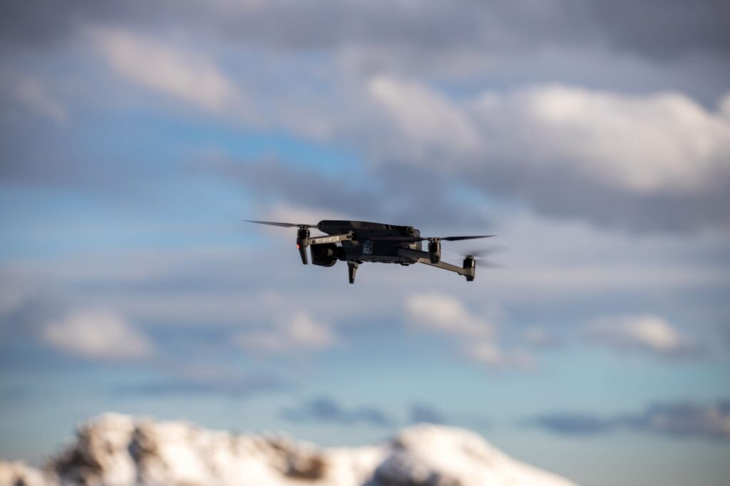
Drone Avoid Obstacles: How to Improve Collision Avoidance with dToF LiDAR and Smart Depth Sensing
Drone Avoid Obstacles: How to Improve Collision Avoidance with dToF LiDAR and Smart Depth Sensing
Here’s the deal: a drone usually does...