1. Q: What navigation technology does the Visio system use?
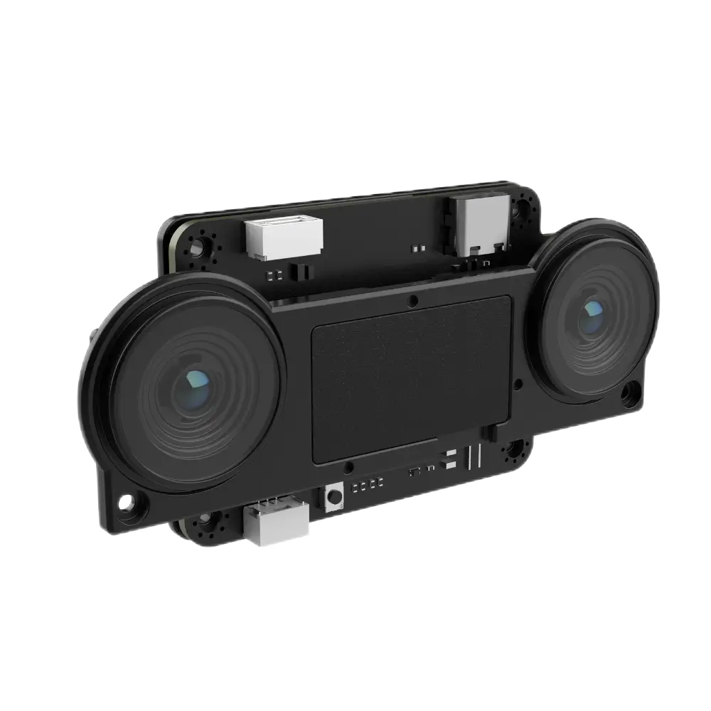
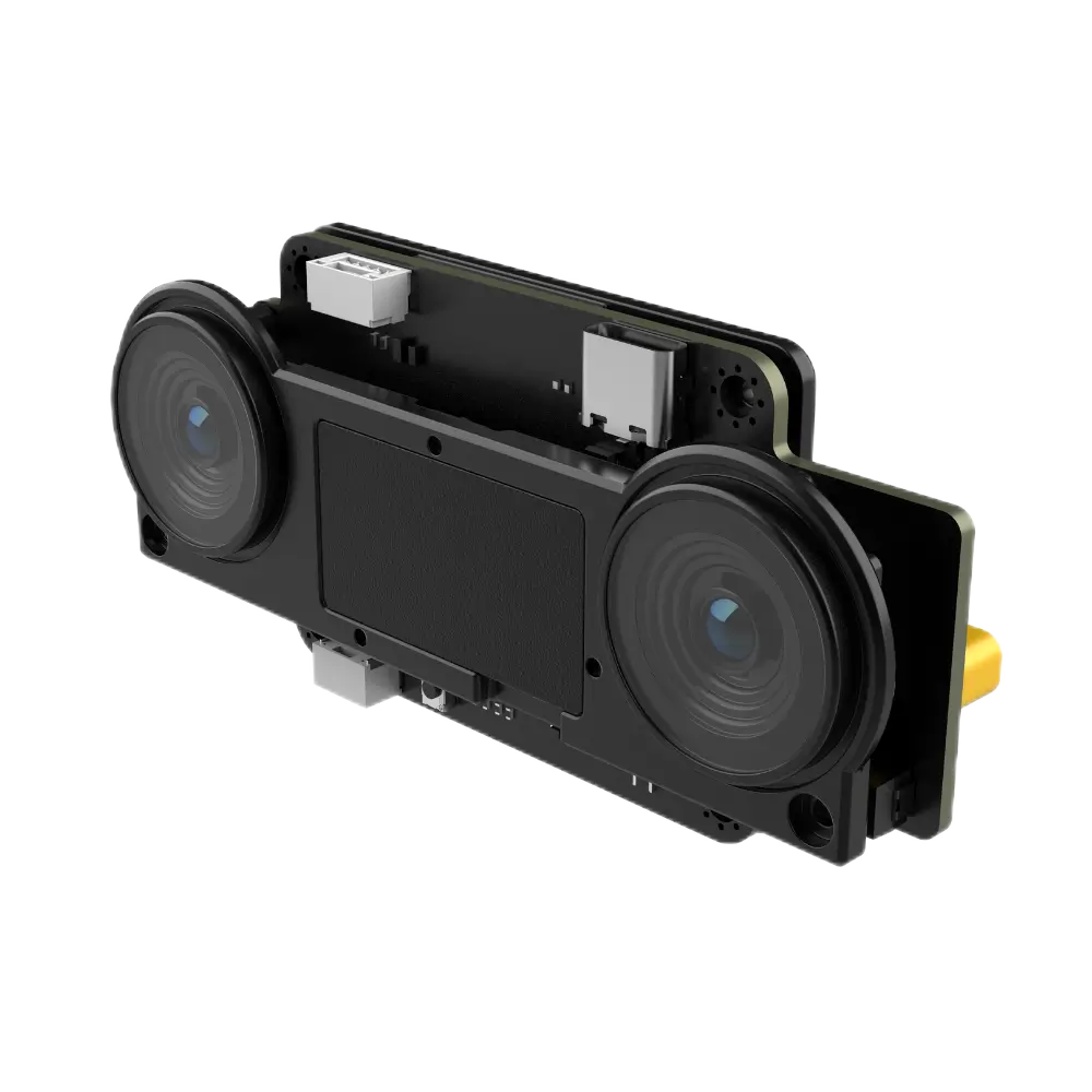
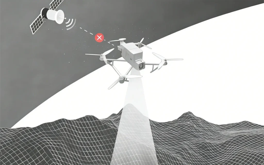
A: The Visio system is based on visual-inertial odometry (VIO), combining camera data with IMU measurements to provide real-time position estimation and navigation without relying on GNSS signals.
2. Q: Can the Visio operate completely without GPS signals?
A: Yes. The system is specifically designed for GPS-denied environments and can maintain stable flight and navigation using vision-based positioning, enabling operation in indoor, underground, or signal-blocked outdoor scenarios.
3. Q: What is the supported flight altitude and performance range?
A: The Visio supports autonomous flight within an altitude range of approximately 0–120 meters, maintaining stable navigation and control across a wide range of operating environments.
4. Q: Does the system support autonomous return or route memory?
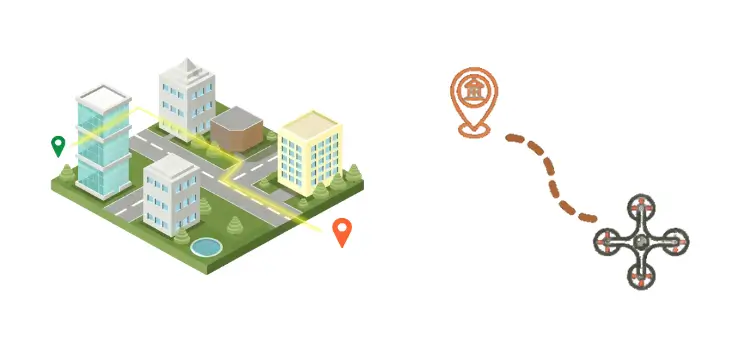
A: Yes. The Visio includes an intelligent route memory function that enables the drone to automatically return to its starting point after completing a mission, improving operational safety and reliability.
5. Q: What communication protocols and interfaces are supported?
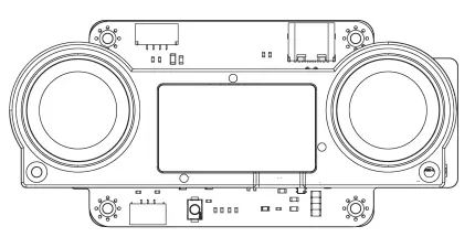
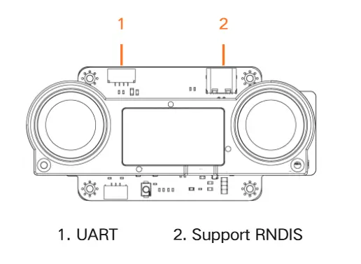
A: The system supports MAVLink2 protocol and uses a UART interface, allowing seamless integration with mainstream flight controllers and easy communication with onboard systems.
6. Q: Is the Visio compatible with common flight control platforms?
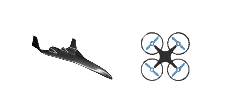
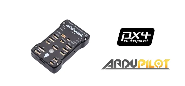
A: Yes. The Visio is compatible with widely used flight control systems such as PX4 and APM, enabling plug-and-play integration into existing UAV platforms.
7. Q: What are the advantages of visual navigation compared to GNSS?
A: Visual navigation enables reliable positioning in environments where GNSS signals are unavailable or unstable, such as urban canyons, indoor spaces, or areas with signal interference, providing continuous navigation capability without reliance on external infrastructure.
8. Q: What applications is the Visio best suited for?
A: The Visio is ideal for applications such as indoor inspection, underground exploration, security monitoring, emergency rescue, and autonomous drone operations in GPS-denied or complex environments.




Reviews
There are no reviews yet.